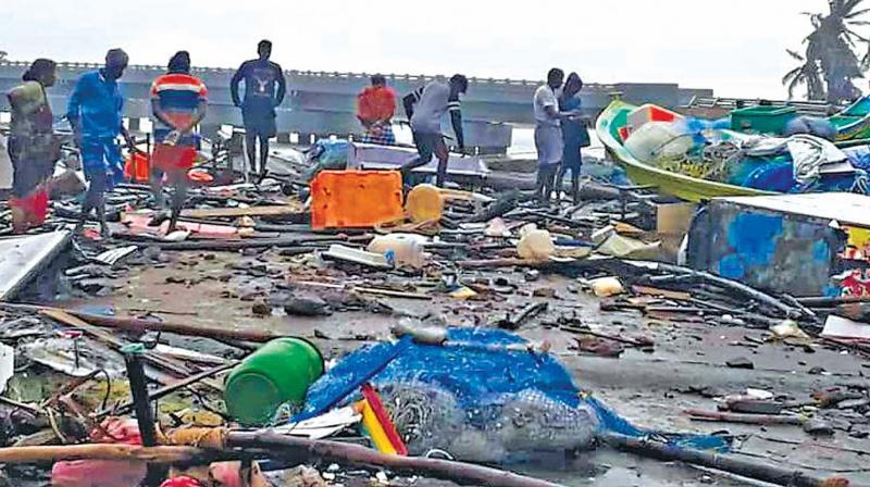
Chennai: Anna University to study impact of Gaja in coastal areas

Chennai: A team of researchers from Anna University will conduct a study on the impact of cyclone Gaja by mapping the storm surge inundation during the landfall of the cyclone in the coastal areas of Nagapattinam district.
This could be used as a tool for disaster management in future. The team intends to study the coastal areas from Karaikkal to Muthupet where the cyclone made a landfall.
National Centre for Sustainable Coastal Management (NCSCM), ministry of environment, forests and climate change, Government of India, has already approved a project by the Institute of Ocean Management, Anna University to study the Gulf of Mannar biosphere reserve. One of the components of the project is to study any extreme event in Tamil Nadu during the study period.
As part of the study, Anna University has assembled a seven-member research team headed by professor S.Srinivasalu from Institute for Ocean Management to study the impact of the floods during the cyclone.
“Currently, people are discussing only the impact of cyclonic winds. Due to the gusting winds, the sea water has inundated in many areas including beaches, fishermen hamlets, estuaries and paddy fields,” said Professor S.Srinivasalu, director, Institute for Ocean Management, Anna University.
The team will study the extent of flooding, the height of flood water when the cyclone crossed to the shores.
“There will be pieces of evidence for the height of water on the trees and for the extent it has entered into the land. Researchers will study the run-up characteristics of the flood,” he said.
Besides, the researchers will also dig up pits to know how much sand from the sea has been deposited into the land.
“By studying sands including analysing its specific gravity and nature of minerals, we can calculate the velocity of the water. It will reveal us in which speed the sediments have been deposited,” Professor Srinivasalu said.
Researchers want to know the extent of seawater flooding and the speed of the water entering into the lands during cyclonic winds at 110 kmph.
"It will help us to create alerts during cyclones in future. We can alert coastal communities that if a cyclone hits at a particular speed how long the coastal areas will be flooded,” he explained the importance of the study.
The university will likely to mark the hazard line in the coastal area and submit it to the government so that in future the people and their boats can be evacuated to safer areas.
The researchers have already undertaken such studies during recent cyclones including Thane, Phailin and Hudhud which have hit the coastal Tamil Nadu and Andhra Pradesh.
“Based on these observations, we have developed a model for cyclone Gaja. That model will be verified and validated with the real-time data,” researchers said.
The new model can be used as a tool for disaster management in future.
The study will be conducted in three phases. In the first phase, researchers will study pieces of evidence which are likely to disappear soon and then, on the gradual changes in the land for six months.

