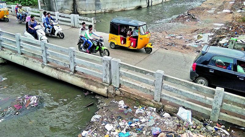
Major nalas in Hyderabad are blocked

Hyderabad: Hyderabad has 16 hydraulic zones that are connected to one watershed. All 16 are obstructed in some way and that results in inundation.
Out of 47 km of storm water drains that have been identified as critical, a large chunk falls in the west zone, starting from Moosapet.
Based on several parameters, Hyderabad has been divided into 16 hydraulic zones, based on groundwater and size of the nalas.
It was found that Kukatpally and Moosapet were critical zones, with more bottlenecks, inundation points, past flood events and also the present length of the Kaccha nala.
In critical zones, the length of the nala should be 20-30 metres, but in many areas it is less than 10 metres.
Their capacity to carry rainwater is less. At certain points the width is drastically reduced due to illegal constructions.
“Unless the upstream portion is of the required width, there won’t be a free flow of water, and this will cause inundation. These are man-made blockages.
Every monsoon Safdarnagar and Allwyn Colony in Kukatpally get submerged. These blockages need to be pulled down,” said GHMC executive engineer M. Ravindra.

