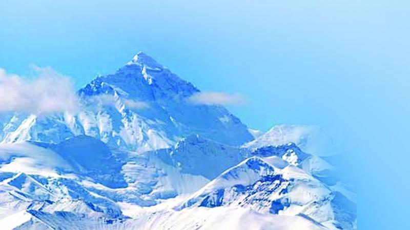
Honey, has the mighty Mt Everest shrunk!
Survey of India's expedition to re-measure Mt Everest likely in September.

Hyderabad: The Survey of India may start its mission to re-measure Mt. Everest in September, believed to be the most conducive time to scale the highest mountain on the planet.
According to Dr. Swarna Subba Rao, Surveyor General of India, the mission will be over in a month’s time. “Climatic conditions to scale the highest peak are favourable in May, and then September-October. Since Mt. Everest is in Nepal’s territory, we proposed a joint scientific exercise along with Survey department of Nepal. We have written to the Nepal government and are awaiting for concurrence from them,” he said.
Doubts have been raised that Mt. Everest -- 8,848 metres tall as measured by Indian surveyors in 1955 -- had shrunk following the deadly earthquake that struck Nepal in 2015. Mr. Rao explained that Survey of India wants to ascertain the claims being made.
Survey of India is celebrating the 250th year of its formation in 2017 and hence wants to take this up as a worthy task for the year. Asked what impact a delayed response from Nepal could have on the mission, since it has already been a few months since the proposal was sent to Kathmandu, Mr. Rao said there was still enough time on hand.
“Survey of India is all geared up for this expedition and ready to embark as soon as Nepal gives its consent. Three members each from the Survey departments of India and Nepal will form the core team and they will be assisted by 20 Sherpas”, he said.
The mountain’s height will be calculated using GPS receivers. Prior to the expedition, the team members will go through a three-week rigorous training on how to go about the task, he added.
Mr Rao, who is based at the Survey of India headquarters in Dehradun, Uttarakhand, told reporters that once the climbers’ team returns from its mission, data would be tabulated by experts and the new height of the world’s tallest peak would be announced by the Indian government.
Height of Curiosity
- The exercise to re-measure the height of Mt. Everest has aroused interest and curiosity around the world.
- Survey experts and journalists from US, UK, Germany, France, etc., have been calling, Dr Swarna Subba Rao says.
- Those days, Kanchenjunga was believed to be the highest peak. But Waugh noticed what looked like a higher mountain behind it. He initially called it Peak b.
- British Surveyor General of India Andrew Waugh surveyed the Himalayan peaks in the 1840s.
- Waugh proposed the name Mt. Everest, after his predecessor, George Everest.
- The surveyors arrived at a height of 8,839.2 metres, or exactly 29,000 ft.
- Waugh recognised that if he declared 29,000 ft as the height, people would think he had rounded it off. So, he declared it was 29,002 ft. Those in the know wittily credited him with being “the first man to put two feet up on Mt. Everest”.
- In 1955, Indian surveyors put the height at the now accepted 8,848 metres.
- Survey of India wants to re-measure the height to see if the 2015 earthquake in Nepal indeed shrunk Everest

