UN Map Sparks Row Over Arunachal, Aksai Chin Claim Lines

Map Draws Separate Indian And Chinese Lines Days After India Backs UN Cartographic Resolution
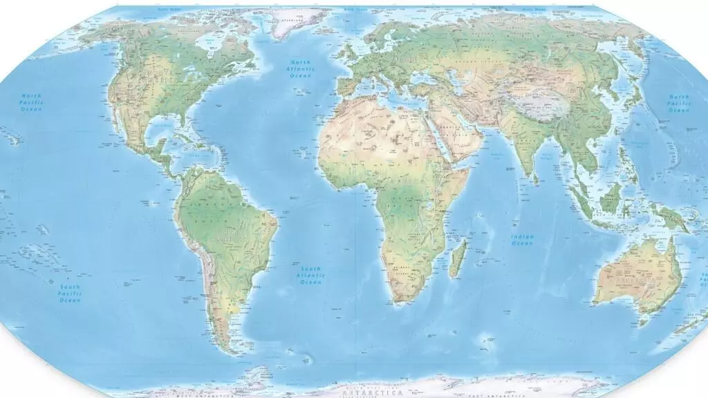
A newly issued United Nations world map has sparked scrutiny in India after depicting Arunachal Pradesh and Aksai Chin with separate Indian and Chinese claim lines, days after New Delhi backed a UN resolution seeking more equitable cartographic representation.
The UN Map of the World, published on July 1, 2026, has drawn attention over its depiction of the two disputed regions along the India-China boundary. The issue comes shortly after India supported the UN General Assembly's “Correct the Map” resolution on September 4, which promotes the use of the Equal Earth projection for a more proportionate representation of global land masses.
According to the map, Arunachal Pradesh's southern boundary with Assam is marked as a “Chinese Line”, while its boundary with Nagaland is omitted. Its northern boundary with China's Tibet is, meanwhile, marked as an “Indian Line”.
A similar representation appears in Aksai Chin. The map marks the region's eastern boundaries as an “Indian Line” and shows a “Chinese Line” that appears to separate Ladakh from Aksai Chin. India claims Aksai Chin as part of Ladakh, while the territory is currently under Chinese control.
The map also depicts Jammu and Kashmir with a dotted line representing the Line of Control between India and Pakistan. An accompanying note says the dotted line approximately represents the LoC agreed upon by the two countries and that the final status of Jammu and Kashmir remains unresolved.
No similar explanatory note appears alongside the separate Indian and Chinese claim lines shown for Arunachal Pradesh and Aksai Chin.
The timing has drawn attention because India has backed the UN mapping initiative while making clear that its support does not amount to acceptance of any specific territorial depiction. The Ministry of External Affairs has said Jammu and Kashmir and Ladakh must be shown according to India's official map, and any inaccurate or misleading representation would be unacceptable.
The latest map has therefore raised questions in India over how competing territorial claims are represented as the UN promotes greater accuracy and equality in global cartography.