Nepal Monitors Two Lakes as Flood Risk Persists Until They Fully Drain

28 Aug 2026 6:51 PM IST28 Aug 2026 6:51 PM IST
The formation of one of the two lakes had been captured in aerial footage by a Chinese rescue team on Thursday.
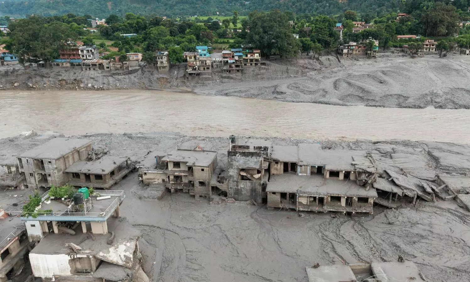
An aerial view shows houses lying deluged in sludge after flash floods at Devighat, Bidur Municipality in Nepal's Nuwakot district on August 27, 2026. (Photo by Prabin RANABHAT / AFP)
New Delhi: Nepal is monitoring two lakes upstream of the flood zone where hundreds died on Wednesday, an official with Nepal's Disaster Management Authority said.
Flood risks will remain until the two lakes have fully drained, the official added, as one of the two lakes began overflowing on Friday.
Satellite images showed the two lakes in proximity to the site where a glacier collapse was believed to have pushed rock, ice, mud and debris into river systems on Wednesday, causing flood waves that levelled houses and tore away bridges.
The formation of one of the two lakes had been captured in aerial footage by a Chinese rescue team on Thursday.
The footage on Thursday showed masses of brown water accumulating in a basin. By Friday, water was draining from that lake, according to new satellite imagery.
The imagery also showed another lake upstream that appeared to be growing in size and was bigger in surface area than the first lake, without any visible outlet as of Friday morning, meaning that water pressure may still be building there.
Nepalese authorities are relying on satellite imagery to track conditions, though monitoring is limited by the availability of images, the Nepalese official said.
Nepal plans to install cameras and sensors downstream, including near the border town of Timure, and is assessing deployment options by helicopter, he said.
( Source : Reuters )


Next Story