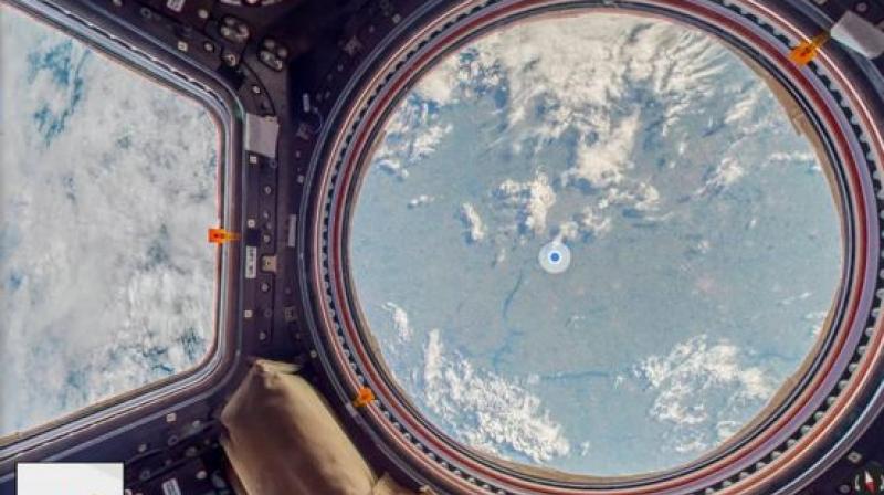
International Space Station first off planet addition to Google Maps
Various parts of the photography feature pop-up text descriptions marking annotations of this nature have appeared on the Maps platform.

Google Maps has added the International Space Station to its Google Maps’ Street View facility. Astronauts helped capture the 360-degree panoramas of the ISS modules, as well as views down to the Earth below.
Various parts of the photography feature pop-up text descriptions, and marking annotations of this nature have appeared on the Maps platform.
However, this will not be the first time 360-degree imagery has been captured beyond Earth.
The European Space Agency had published its own interactive tour of the ISS. And last year, the National Aeronautics and Space Administration (NASA) repurposed images captured by its Pathfinder mission to Mars to create clips suitable for virtual reality headsets.
Google’s technology should however, provide the members of the public an improved sense of freedom of movement and a greater choice of viewpoints that had been possible before.
The tech giant stated that it now hopes to inspire the public to further explore the science and engineering involved in space exploration.
“Every [ISS] component had to be flown on a space shuttle or rocket and constructed and connected in space, and it had to be done with such precision that it formed a hermetic environment to support life,” project manager Alice Liu told the BBC.
“That is an engineering marvel that people should care about and know about.”
The firm said creating the latest Street View expansion had been posing unique challenges.

