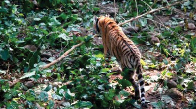
Forest Geo Portal aids Thiruvananthpuram forest
Tracking animal movement or poaching become easy.

Thiruvananthpuram: Thanks to Forest Geo-Portal, tracking animal movement or poaching activities or even Maoist incursions has become easy for forest officials. The Geo-Portal, by providing maps online, allows departmental officials to explore information related to administrative boundaries, reserve forests, plantations, roads, rivers, resources, infrastructure facilities and much more.
"The field officers often faced difficulties in getting hold of maps within their jurisdictions in times of crises," said a range officer in charge of Global Information System.
"In most cases officers from the northern and central circles had to come over to the GIS unit at the Forest Headquarters in the capital to get the maps. This was a major drag on efficiency," the officer added.
The Geo-Portal is expected to electrify the decision making process. The portal offers maps with various "levels' of information like roads, rivers, other water resources, interior forest and so on that make up a jurisdictional area.
"A forest division trying to tackle the Maoist threat, for instance, will be greatly aided by such clarity of information. They can now identify the areas where Maoists have the highest probability to concentrate like river banks or interior forest. This makes combing operations easier and focused," the officer said.
The maps can also be sifted to highlight just a particular "layer" within a forest. For instance, if the field officer wants only the roads, the portal has a feature that will highlight only the road layer that criss-cross the area and so on. This specificity can come in handy for field officers tracking suspicious movements within a forest. "
Once we have the geo-reference of a suspicious movement, which can be easily got through GPS, we can easily track it real-time along the layer that is relevant. We can also effectively direct staff movement," said Dhanesh Kumar, wildlife warden of Wayanad Wildlife Sanctuary.
Perhaps the most exciting feature of the portal is the provision to display the high-resolution Google maps or ISRO's Bhuvan maps over the existing maps.

