Thunderstorms Give Telangana Respite From Heatwave

Dr Y.V. Rama Rao, a weather consultant with TGDPS, said the overnight rain activity developed suddenly and was difficult to forecast until late because of rapid cloud formation over northern Telangana.
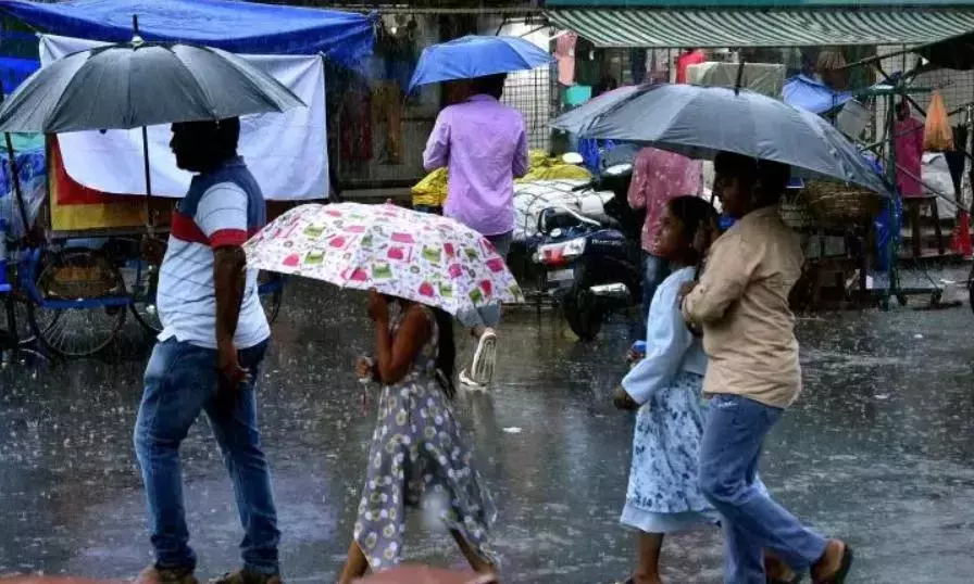
Hyderabad:Hyderabad woke up to cooler weather of 28ºC-35°C on Tuesday morning after widespread overnight rain swept across parts of Telangana and Hyderabad, bringing temperatures down sharply after nearly a week of 42°C to 43°C heat.
Several areas in Hyderabad recorded steady rain through the night of Tuesday into the early hours of Wednesday, while districts including Mahabubnagar, Siddipet, Sangareddy, Medak, Wanaparthy, Nagarkurnool, Jogulamba Gadwal and Nizamabad also received heavy rainfall accompanied by thunderstorms and gusty winds.
According to Telangana Development Planning Society (TGDPS) data, Bhoothpur in Mahabubnagar district recorded the highest rainfall at 111.8 mm overnight. Rainfall above 100 mm was also recorded in parts of Koilkonda and Bhoothpur mandals.
Dr Y.V. Rama Rao, a weather consultant with TGDPS, said the overnight rain activity developed suddenly and was difficult to forecast until late because of rapid cloud formation over northern Telangana.
He explained that intense heat conditions over the state, combined with increasing moisture levels, triggered sudden cloud development that later pushed rain-bearing systems towards southern Telangana and Hyderabad.
“These are not very typical pre-monsoon rains. The extreme daytime heating and moisture buildup created strong localised instability, leading to sudden thunderstorm activity overnight,” he said.
Dr Rama Rao said the rainfall helped bring daytime temperatures in Hyderabad down to around 35°C to 36°C on Wednesday morning compared to the 42°C to 43°C temperatures recorded across much of the previous week.
However, he said the current spell was unlikely to continue throughout the week. “If similar cloud formation develops again under these heat conditions, temperatures may reduce temporarily once more,” he said.
Despite the rain spell, temperatures remained severe in many northern and eastern districts. Kumuram Bheem, Jagitial, Peddapalli and Suryapet recorded temperatures above 46°C on Tuesday. In comparison, Hyderabad touched around 42°C before Wednesday’s cooling spell lowered daytime temperatures to around 38°C to 39°C in several parts of the city.
The IMD issued orange heatwave warnings for Adilabad, Kumuram Bheem Asifabad, Mancherial, Karimnagar, Peddapalli, Jayashankar Bhupalpally, Mulugu, Bhadradri Kothagudem and Khammam districts. Thunderstorms accompanied by lightning and gusty winds of 50-60 kmph are likely in parts of Hyderabad, Rangareddy, Medchal-Malkajgiri, Sangareddy, Vikarabad, Medak, Mahbubnagar and other southern districts.
According to the IMD-Hyderabad, conditions are becoming favourable for further advancement of the southwest monsoon into more parts of the Arabian Sea, Bay of Bengal and Andaman Sea over the next 2-3 days.
A north-south trough extending from north Bihar to south Telangana is also influencing the current weather activity. Officials said light to moderate rain is likely at isolated places across Telangana over the next three days, while temperatures are expected to remain near current levels for the next two days before gradually easing.