Land Re-Survey To Be Completed in Bhadradri-Kothagudem

Officials informed the collector that the Nallabandaboru gram panchayat had a total of 1,426 acres of land and the re-survey of these lands was in progress. The survey is progressing with the demarcation of village boundaries.
Nalgonda: The Bhadradri-Kothagudem district administration has asked officials to ensure that the land re-survey is error free and project the district as a model to the entire state in this process.
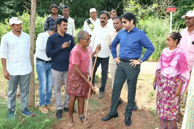
Inspecting the process at Nallabandaboru gram panchayat area of Julurupadu mandal in the district, district collector Ankit enquired with the survey and revenue officials about the progress of the work and sought details on the demarcation of village boundaries.
He underlined the need for accurate recording of land details and asked officials to avoid causing any inconvenience to the farmers. The details regarding each land parcel must be verified on-site and cross-check with existing records. Officials must utilize necessary technical methods to ensure the survey process is error-free.
He underlined the need for coordinated work between the revenue and survey officials to prevent any ownership disputes among the farmers.
Officials informed the collector that the Nallabandaboru gram panchayat had a total of 1,426 acres of land and the re-survey of these lands was in progress. The survey is progressing with the demarcation of village boundaries, they stated.
Julurupadu tahsildar Srinivas and grama panchayat sarpanch G Sindhu were also present.