VMRDA Region Gets New Development Blueprint

The land-use plan allocates resources as follows: agriculture (40.7%), residential (17%), mixed-use (9%), transport (6%), forests and green zones (25%), industry (2%), and other categories.
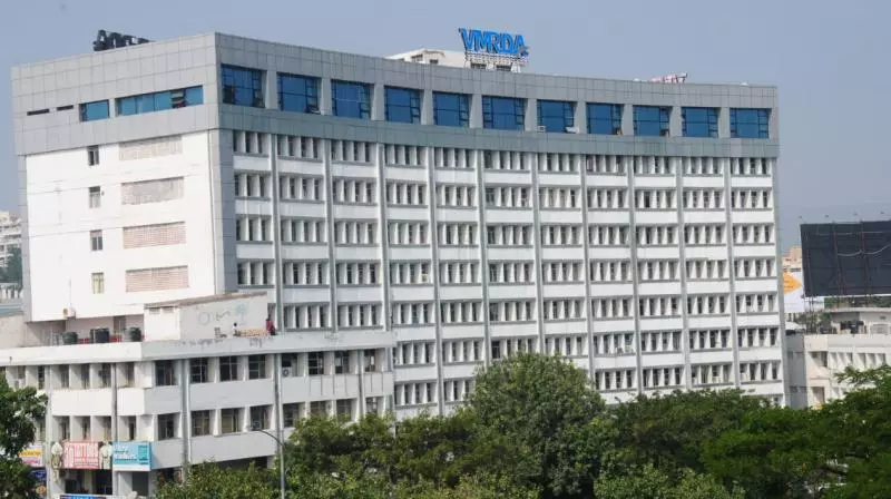
Visakhapatnam:The state government has approved the revised Master Plan-2041 for the Visakhapatnam Metropolitan Region Development Authority, marking a significant step towards comprehensive and sustainable urban development.
Issued through GO-144 on July 8, the government granted statutory status to the plan under the AP metropolitan region and urban development authorities act of 2016. This updated plan replaces the earlier one from 2021 and was revised following a thorough review of current needs, public feedback, and future infrastructure requirements.
Public participation was a key element in the revision process. The authorities initially received 3,722 objections and suggestions, which were consolidated into 717 distinct issues. Of these, 427 were incorporated into the new plan, while 290 were excluded for technical or legal reasons. A second round of consultations held in early 2026 garnered 1,241 responses, primarily focusing on issues related to roads, land use, water bodies and alignments.
The plan utilises Geographic Information System (GIS) technology to integrate development data from 2021 to 2026, covering layouts, building plans, open spaces, and land-use changes. Major infrastructure projects have been included to enhance connectivity, such as the Raipur Expressway, Coastal Corridor, Polavaram Canal, Metro Rail, Bus Rapid Transit System (BRTS), and suburban railway corridors.
The road network will expand to 4,098.6km, with 676.5km of new roads proposed and 15 priority links identified to connect to Bhogapuram international airport.
Future development initiatives include the Bhogapuram Aerocity, IT and data hubs in Madhurawada, Anandapuram and Kapuluppada, the GMR Manasa Aviation Edunity and the ambitious Vizag Bay City project, which will extend from Kailasagiri to Bheemili.
Environmental conservation is a high priority, with forest areas, hills, water bodies and ecologically sensitive zones designated as protected. Additionally, plans include creating Miyawaki forests across 9.17 hectares to enhance greenery.
The land-use plan allocates resources as follows: agriculture (40.7%), residential (17%), mixed-use (9%), transport (6%), forests and green zones (25%), industry (2%), and other categories.
With the region’s population projected to rise from 4.794 million in 2025 to 6.630 million by 2041, the plan aims to address housing, industrial, transport, social infrastructure, and environmental needs.
Inputs from various departments, public representatives and citizens have shaped the revised Master Plan-2041, which is expected to lay a strong foundation for planned urbanisation, improved infrastructure, integrated transport, environmental protection, and attracting investment.