Low-Pressure-Area Formed, More Rains for AP
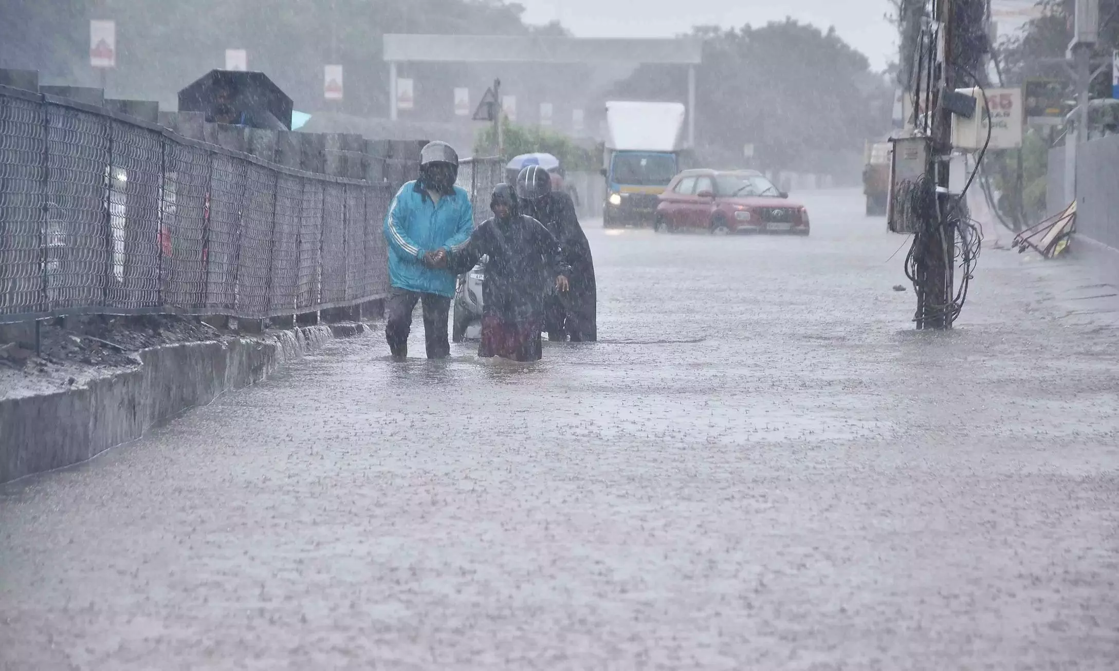
IMD said in a release on Tuesday that the system might trigger heavy rainfall over parts of Andhra Pradesh.

Representational Image
Visakhapatnam: A low-pressure area formed over west central Bay of Bengal on Tuesday due to the influence of a cyclonic circulation over the east central Bay of Bengal and its neighborhood.
IMD said in a release on Tuesday that the system might trigger heavy rainfall over parts of Andhra Pradesh.
“The system is likely to move northwestwards and intensify into a depression over west central and adjoining northwest Bay of Bengal by Thursday morning and cross south Odisha- north Andhra Pradesh coasts around Friday,” it said.
The upper air cyclonic circulation over west central Bay of Bengal off north AP coast merged with the cyclonic circulation associated with the low-pressure area over west central Bay of Bengal.
The IMD forecast said heavy rain is likely at isolated places over coastal AP on Wednesday and Thursday. Thunderstorms accompanied by lightning are likely over CAP. Strong winds with a speed of 40-50kmph are likely at isolated places over CAP and strong winds with speed of 30-40kmph are likely at isolated places over Rayalaseema on Wednesday and Thursday.
Thunderstorms accompanied by lightning are likely over CAP and Rayalaseema on October 3 and 4. Strong winds with speed of 30-40kmph are likely at isolated places over CAP and Rayalaseema during the period.
IMD said, “During the last 24 hours ending 8.30 am Tuesday, Seethanagaram in Parvathipuram Manyam district received the highest rainfall in the state at 8cm, followed by 6cm in Mentada (Vizianagaram), 5cm each in Yemmiganur, Gudur and Manthralayam (Kurnool), Dhone, Nandyal and Atmakur (Nandyal) during the period.”
“Parts of the CAP and Rayalaseema received 2 to 4cm rainfall during the period,” IMD said.
( Source : Deccan Chronicle )
Next Story

