Heavy Rains Forecast for AP as Low-Pressure Area Forms in Bay

Strong surface winds with speed reaching 40–50 kmph are likely at isolated places over coastal Andhra Pradesh, Yanam and Rayalaseema from Sunday, July 26, to July 28.
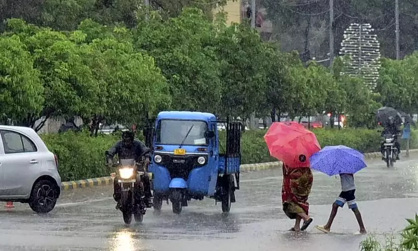
Visakhapatnam:A low-pressure area has formed in the northwest Bay of Bengal close to West Bengal-Odisha coast. It is likely to bring heavy rain in isolated parts of the north coastal Andhra Pradesh and thunderstorms in isolated parts of the south coastal Andhra Pradesh and Rayalaseema during the next two to three days.
According to the India Meteorological Department, Amaravati, heavy rain is likely at isolated places over north coastal Andhra Pradesh. Thunderstorms accompanied by lightning are likely at isolated places over coastal Andhra Pradesh, Yanam, and Rayalaseema.
Strong surface winds with speed reaching 40–50 kmph are likely at isolated places over coastal Andhra Pradesh, Yanam and Rayalaseema from Sunday, July 26, to July 28.
The condition of the sea is likely to be rough with squally weather and wind speed of 40–50 kmph gusting to 60 kmph is likely along and off West Bengal, north Odisha coasts, and some parts of the north Bay of Bengal for the next two to three days.
Fishermen are advised not to venture into the sea during this period.
As rain has been playing hide and seek due to the emergence of El Nino, the overall rainfall deficit percentage in the state stands at around 36 per cent as on July 24, as per the IMD. The state has recorded 123.7 mm of rainfall as against the normal rainfall of 194.6 mm from June 1 to July 24.
The southwest monsoon is weak over coastal Andhra Pradesh, Yanam, and Rayalaseema, though farmers are hoping for some wet spell in the state for their Kharif sowing operations.