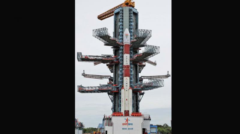
Isro to replace IRNSS-1A with IRNSS-1H satellite
New navsat that launches today will help railways, fishers.

Chennai: By replacing the ineffective navigation satellite IRNSS-1A with IRNSS-1H satellite, the Indian Space Research Organisation is all set to help the fishermen, general public, railways and ships with India’s very own GPS, the NavIC (Navigation with Indian Constellation).
ISRO’s PSLV-C39 rocket will launch the backup satellite from Sriharikota on Thursday with modified atomic clocks following the failure of IRNSS-1A due to the deficiencies in three atomic clocks. The launch will take place at 6.59 p.m.
IRNSS-1A was the first of seven satellites in Indian Regional Navigation Satellite System (IRNSS).
The 29-hour countdown for the launch started on Wednesday at 2 pm. “NavIC will very soon replace the GPS system in the Indian region. At many places, the trials are going on. The users will get the details about their locations in their hand held devices like smart phones. To realise the indigenous navigation system we need thousands of ground systems,” said M.Annadurai, director, ISRO Satellite Centre, Bengaluru.
The NavIC system, if realised, will help the various industries including the fishermen, merchant ships, transport operators, traffic management, tracking trains movement and alerting the road users at unmanned level crossings, land survey, port operations, agriculture and disaster management. It will also extremely useful to armed forces during the time of conflicts.
ISRO chairman A.S. Kirankumar said all the location based services can be provided through NavIC using the receivers for built for it. “Right now many activities are going on. Already, all the necessary details are available in the public domain. It is for the industries to participate in the process,” he said adding that the GPS had evolved over so many decades and NavIC was just started.
While IRNSS-1H joins the constellation for providing navigation services, IRNSS-1A will be used for messaging service. With the operationalisation of seven satellites in the regional navigation system, the position accuracy is expected to be better than the 20 metres over 24 hours of the day.
The ground segment of NavIC has a number of Indian Range and Integrity Monitoring Stations also called IRIMS which are geographically spread across the country. It also has IRNSS CDMS ranging stations, IRNSS network timing centres, ISRO navigation centres and spacecraft control facilities.
NaVIC can be the saviour for TN fishermen:
Using the messaging capabilities of NavIC, fishermen can be warned when they approach international water boundaries preventing them from crossing inadvertently. They can also receive alerts related to bad weather and high waves. Along with the satellite based forecast on fish aggregation areas, it will help fishermen reach the potential fishing zones where they would get the better fish catch. All these services are provided through a fishermen app on a smart phone. Isro has successfully conducted the demo and the government is planning to implement on the larger scale.
Transport:
With its positioning service, it supports numerous applications in the road transport sector. While helping the travellers to go from one location to another location it enables the transport operators to track their vehicles and goods so that they can manage their operations efficiently. It can also facilitate better traffic management in cities, towns, highways.
Railways:
The railways department has entered MoU with the Isro for tracking trains movement. It can inform the passengers about the time of arrival and departure and can be useful in alerting the road users at unmanned level crossings to avoid accidents.
Other services:
With its position and precise timing, it can contribute in the areas of telecom operations, power grid operations, disaster management, atmospheric studies. When integrated with mobile phones, it can bring the major transformation in the delivery of customized applications to the consumers.
