NASA Images Reveal Thick Post-Diwali Smog Over North India as Delhi AQI Hits 376

10 Nov 2026 10:55 PM IST10 Nov 2026 10:55 PM IST
Amid this situation, NASA has released satellite images showing a thick layer of haze over the northern parts of India. The affected areas include Delhi, Uttar Pradesh, Haryana, Punjab and some other nearby regions.
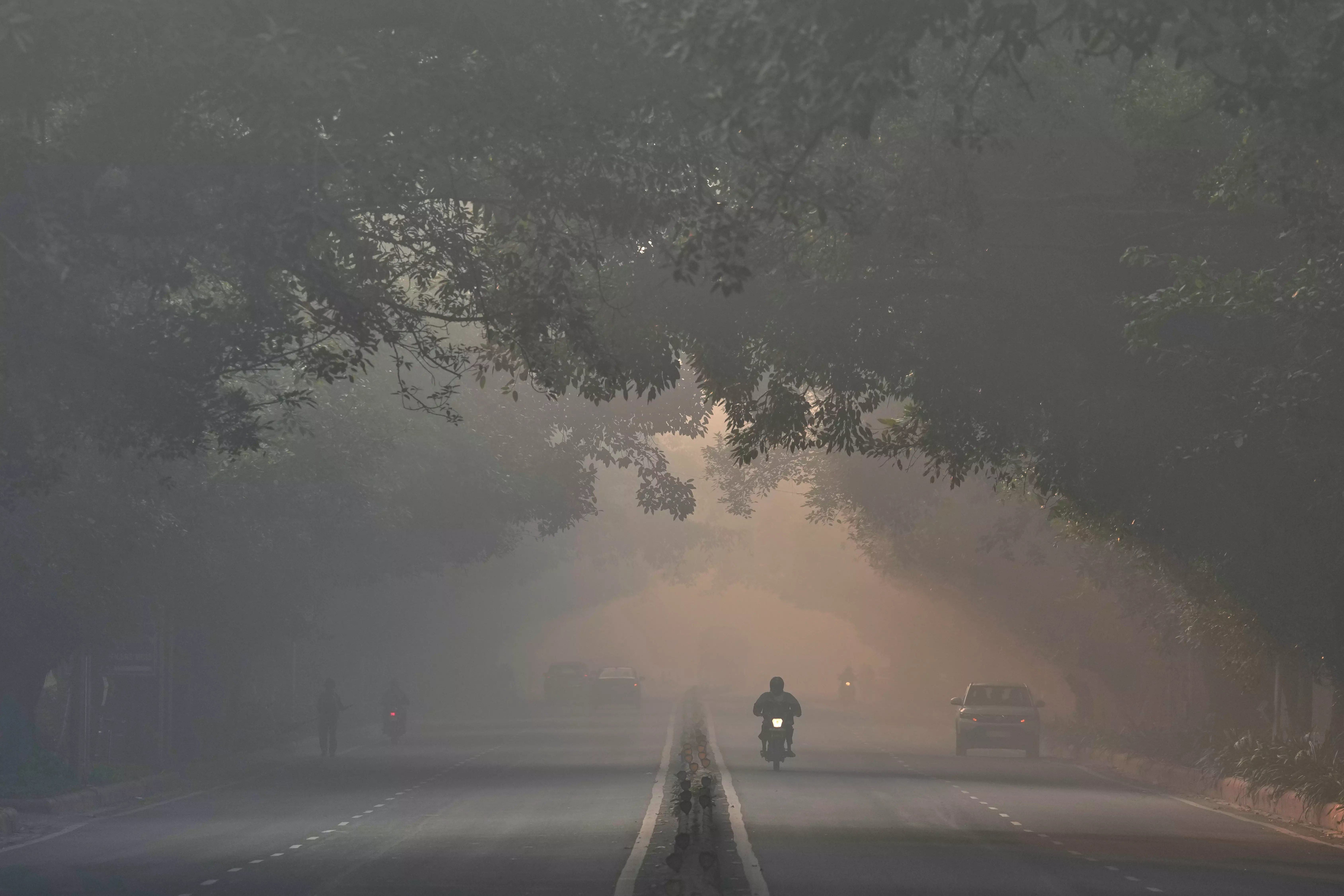
A motorcyclist rides through thick smog after firecrackers lit up the sky overnight during Diwali celebrations in New Delhi, Monday, Nov. 9, 2026. (AP Photo/Manish Swarup)
After the Diwali celebrations, a thick layer of smog has spread across many parts of North India. People burst firecrackers during the festival, including after the permitted hours. As a result, pollution levels have increased, making the air quality very poor in many areas.
Amid this situation, NASA has released satellite images showing a thick layer of haze over the northern parts of India. The affected areas include Delhi, Uttar Pradesh, Haryana, Punjab and some other nearby regions.
The satellite image was captured by the Moderate Resolution Imaging Spectroradiometer (MODIS) and shared through NASA's Fire Information for Resource Management System (FIRMS).
The image shows a thick grey layer of haze spreading across the Indo-Gangetic plains. It stretches from Pakistan through northern India and towards the eastern parts of the country.
The haze can be vividly seen over Punjab, Rajasthan, Uttar Pradesh, Haryana, and nearby areas.
The images also show several red markers. These markers showcase fire hotspots detected across the northern agricultural areas. These fires are linked to the burning of agricultural waste left after harvesting crops.
This practice is one of the reasons for seasonal air pollution in the region.
According to data from the Central Pollution Control Board (CPCB), Delhi's Air Quality Index (AQI) reached 376 on Diwali. This is the highest AQI recorded on Diwali since 2021, when the AQI was 382.
( Source : Deccan Chronicle )

Next Story