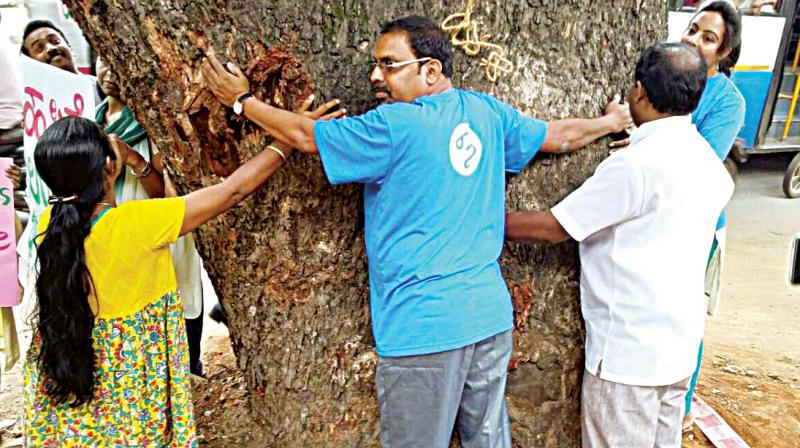
Bengaluru: An app to map trees on steel flyover route
CfB will launch a tree mapping app this week and it will mark all trees located in the stretch between Chalukya Circle and Hebbal.

BENGALURU: Citizens for Bengaluru (CfB), the organisation spearheading the Steel Flyover Beda movement, will shortly take up the tree-mapping of the area where the proposed controversial steel flyover corridor is set to come up.
CfB will launch a tree mapping app this week and it will mark all trees located in the stretch between Chalukya Circle and Hebbal. Individuals can download the app and map the trees in their area.
Asked on the purpose of such an initiative, Ms Tara Krishnaswamy, one of the conveners of Citizens for Bengaluru said, “The main intention of the tree mapping is to make the people of Bengaluru aware on the diversity of trees the city should be proud of and at the same time make them aware of the fact that these diverse plant life will have to be chopped off making way for the steel monster."
With the help of the app, individuals can take a photograph and mark the location of the tree. Further the app will help measure the height of the tree and can know the botanical names and special features of the tree, Ms Tara explained. She further stated that this initiative of tree mapping will not only stop marking trees along the proposed steel corridor but taken to other parts of the city too.

