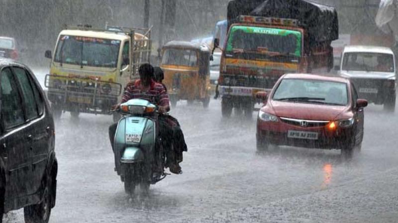
IMD says no heavy rains threat for Andhra Pradesh
The Visakhapatnam district received 8.9 mm rainfall.

Visakhapatnam: With the well-marked low-pressure area moving away westwards towards the Gujarat region, very light rainfall was recorded at most of the IMD stations. However, a trough on sea level chart runs from Vidarbha to south Tamil Nadu across Telangana and Rayalaseema. The regional Met department in its evening bulletin on Wednesday forecast light to moderate rain/thundershowers at a few places over coastal Andhra Pradesh and at isolated places over Rayalaseema for the next three days. The low pressure was likely to intensify into depression but has moved away preventing heavy rains.
Now the axis of monsoon trough at mean sea level passes through the centre of the well-marked low-pressure area over northern parts Saurashtra and adjoining Gujarat region, Khandwa, Seoni, Raipur, Puri and thence south-east toward east-central Bay of Bengal and extend up to 0.9 km above mean sea level.
According to real time rainfall data of Andhra Pradesh State Development Planning Society, only Prakasam and Nellore got excess rainfall while the other districts experienced normal rainfall. The Visakhapatnam district received 8.9 mm rainfall. Srungavarapukota and Madugula mandals of Vizianagaram and Vizag received the highest rainfall in the state with 94 mm and 91 mm rainfall. While no station experienced heavy rainfall, 846 stations received light to moderate rainfall. Moreover, 921 stations across the state did not receive any rain.

