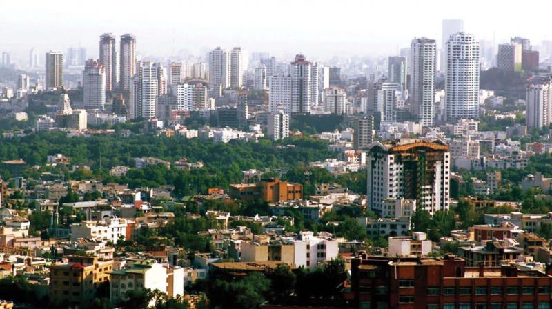
Kempegowda Jayanthi 2017: Difference between Old Bangalore and New Bengaluru
Established in 1537 as a market town by Hiriya Kempe Gowda (Kempe Gowda I), Bangalore spread across 5 km.

Yashaswini Sharma
Architect, Author of Bangalore: The Early City AD 1537-1799
Established in 1537 as a market town by Hiriya Kempe Gowda (Kempe Gowda I), Bangalore spread across 5 km. Bengaluru Pete had roads laid out towards all cardinal directions and took the form of an ellipse. The ruler, who is credited for designing the city envisioning the potential for trade, invited traders from around the world to settle down around the Pete.
Kempe Gowda I who was already the Prabhu (King) of Yelankanadu developed the city as he discovered that the southern highway which led to Rameshwaram was crossing through the Pete. The town was later divided into more than 20 zones (sub-Petes) based on the trades pursued in the locality. Each such Pete had eight gates, as per the canonical architectural texts Manasara and Maya-mata. Akkipete was named as rice was traded there; Aralpete for trading seed and Ragipete as the former half of the name speaks for itself. Each community within their zones built pilgrim places as well – Ranganathaswamy Temple at Muthyalapete being a fine example.
The town within the fort was named and labelled into two major streets – Chikpete and Doddapete which ran in east-west and north-south directions. The axial road which ran in the north-south direction up to the oval fort is now Avenue Road, which still runs through the heart of the city. The four main gates built at the cardinal directions include Halasoor (now Halasuru, at the east), Sondekoppa (west), Yelanka (now Yelahanka, at the north) and Anekal (south). The hill fortress including Nandidurga, Devarayanadurga, Savandurga, Hutridurga and Huliyurudurga served as an added cover for the Bengaluru Pete.
Kempe Gowda I also ensured availability of water throughout the city. He headed the sanctioning of lakes at different parts of the town, also installing a number of tanks at important points like Dharmambudhi (currently Majestic bus station) and Sampangi (now Kanteerava Sports Complex). The water supply system back then was commendable. An efficient sewage system which ensured effective use of waste water was also designed then, known as Sunakkal tank (made of Limestone). The sewage was let out for agricultural purposes at that area (now Sunakkalpet). Layouts sprouted later as population increased. The climate in Bangalore is what attracted people from around the country and the world, points a lot of ancient literature.
Haider Ali and his son Tipu Sultan established Lalbagh during the beginning of the latter half of the 18th century. The Cubbon Park, yet another major lung space of the city, has a tale related to the British. After the Anglo-Mysore wars, the British shifted their base from Srirangapatna to Bangalore, setting up Bangalore Cantonment. The Cubbon Park then acted as a buffer between the old natives at the Petes and the Anglo-community. People were asked to pay a fee to cross through the park and the road was gated everyday by sunset.
Krishnaraja Wadiyar III is believed be behind bringing electricity to Bangalore, making it the first city in the country to do so. Krishnaraja Wadiyar IV is known for setting up Indian Institute of Science, Minto Eye Hospital and Kannada Sahitya Parishath. Chamaraja Wadiyar X bought the Central High School (now Central College) from Rev. J. Garrett using the ruler’s private funds so as to cater to his accommodation needs. Thus, Bangalore Palace came into being. Vidhana Soudha, a landmark building of the city, is the brainchild of Kengal Hanumanthaiah, Jayachama rajendra Wadiyar and K. Chengalaraya Reddy, the first CM of Karnataka.
The basic layout of the city was developed in the early 16th century and from there all extensions began developing. A close look at how the present Ring Road is shaped will reinforce one’s thoughts to the same shape of the Petes.

