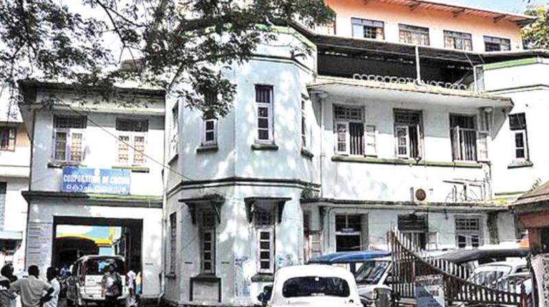
Corporation to launch GIS mapping of Kochi
=Data to help civic body augment tax collection.

Kochi: The city corporation in association with the district town planning office and Cochin Smart City Mission Limited will conduct a GIS (geographic information system)-based mapping of Kochi city which will help the civic body to augment tax collection.
Since the civic administration faces issues in accessing the details of properties, location, encumbrance and property tax details, the GIS-based digital map will help it to enhance property tax collection, the main revenue source of the local body.
The four-phased project will be carried out at an estimated cost of Rs.5.29 crore.
“The digital map will also help various international agencies like WRI, ICLEI and GIZ working on various projects in the city. A digital map with the details of drains, canals and water bodies is much helpful for projects in the climate resilience sector,” said corporation sources.
The corporation council had recently decided to entrust the GIS mapping with Uralungal Labour Contract Co-operative Society Ltd (ULCC), a government-approved agency. The agency will prepare the map, develop necessary software and also provide technical assistance for the next two years.
The digital mapping will track all buildings, roads, individual properties, trees, drains, canals and street lights. This basic digital map will help the civic authorities in tracking the location of buildings and their floor area, building tax defaulters and important installations.
“Earlier, as part of JNNURM project, the corporation has done a total-station survey to map all roads, having a width of more than three metres, in the urban agglomeration area. The details of the mapped roads are with the civic body. Various national and international agencies mandate digital mapping of the city and an information back-up as a prerequisite for providing technical and financial assistance in various sectors,” said K.J. Sohan, former town planning committee chairman.
Earlier, the state government had allocated funds for the GIS mapping project and a satellite image of the city has been bought from the National Remote Sensing Centre. The civic administration will write to the government seeking permission to hand over the funds allocated and the satellite image to the ULCC.

