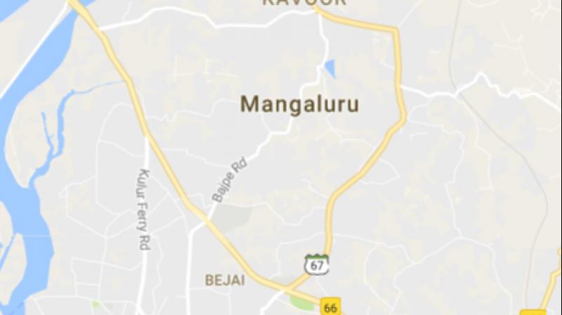
Mangaluru first taluk to have all its govt facilities mapped

Mangaluru: If everything goes according to plan, Mangaluru taluk could, in the next three months or even less, become the first in the state to have mapped every government facility in its gram panchayats.
The mapping, being done with the help of the Indian Space Research Organisation (ISRO), National Remote Sensing Agency (NRSA), the Dakshina Kannada Zilla Panchayat and Alva’s Institute of Engineering and Technology will list education institutions, government offices and quarters, post offices, banks, water supply agencies, sewage treatment plants and health centers of every gram panchayat on the Bhuvan portal.
Although the project has been given a three month deadline, the authorities hope to complete it in a month and move on to cover other taluks of Dakshina Kannada. A Bhuvan Panchayat mobile application has been developed to do the asset mapping directly from the field through geo-location and photographs, according to Mr A T Jayseelan of NRSC.
“The Asset Directory will be a comprehensive compilation of different types of assets and resources created under various schemes to help the local population. This project is looking to fill the gap of spatial data at the panchayat level. The NRSC and ISRO have conceptualised it to empower Panchayati Raj Institutions (PRIs) and stakeholders for spatial, participatory, integrated decentralized planning in the country,” he explained at the Asset Mapping orientation programme organised at the Dakshina Kannada Zilla Panchayat on Wednesday
Alva’s Foundation managing trustee ,Vivek Alva said once the assets were identified it would help in meticulous planning of the gram panchayat in future. AIET is one of 10 colleges in India associated with ISRO for the Bhuvan panchayat project.

