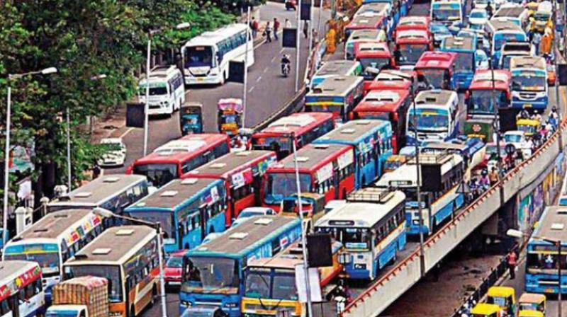
Hyderabad: Brace for traffic jam at eastern parts of city too
Existing skyway proposals would not meet traffic demand.

Hyderabad: The east side of Hyderabad will soon face severe traffic snarls on par with those in Madhapur, Hitec City, Gachibowli and other areas of the IT Corridors, due to poor planning by the Hyderabad Metropolitan Development Authority.
The municipal authority decided recently to allow plot owners to construct unlimited number of floors in the Uppal Bhagat layout.
Industries are not allowed but the plot owners can erect residential and commercial structures citing the mixed zonal regulation.
This decision by the HMDA would prove costly to commuters travelling through the Uppal Junction where peak hour traffic has already reached 16,000 vehicles. With the municipal authority’s decision to allow minimum 10 floors, as many as 50,000 new vehicles would hit the Uppal roads in the near future, which would be a nightmare for commuters.
Plot owners, who won plots in the e-auction, can construct unlimited floors abutting a 30-metre road width, 15 floors abutting a 24 metre road width and 10 floors abutting 18 metre road width in plot size ranging from 2,000 square yards to 8,000 square yards, as per GO No 168 dated April 4, 2012.
In order to meet the existing traffic demand at Uppal Junction, the state government has already proposed an elevated corridor which would start from Uppal and end at Ghatkesar.
However, with the proposals on paper to develop the east part of the city on par with the west, traffic snarls at the Uppal Junction and surrounding areas would become routine unless road connectivity is developed.
According to highly placed sources in the Municipal Administration and Urban Development department, the planning authority, which has been conducting a Comprehensive Transport Study and design master plan to meet the current and future traffic demands, didn’t properly plan for the Uppal Bhagat layout.
Though HMDA has developed a road network within the layout, it has no plans to ease traffic congestion on arterial roads leading to LB Nagar, Warangal highway, Ramantapur and Hubsiguda.
With the state government’s decision to expand industries to the eastern part of the city, the existing skyway proposals in the area would not meet the traffic demand. Sources also said that the metro would only facilitate commuters travelling in the direction of Miyapur since the authorities are yet to connect Nagole with LB Nagar.
However, HMDA came up with a different notion. They said that the municipal authority apart from leaving 24m,30m,40m and 80 metre road size in the layout has also proposed a 200 metre road which would connect LB Nagar from layout, 60 metre to connect Warangal highway via Perzadiguda besides metro rail
connectivity. A senior HMDA official said on condition of anonymity that the municipal authority has already made grand plans to meet the traffic demands of Uppal Bhagat layout.
He said that road design was made in such a way that it could facilitate 35,000 vehicles and also said that only 47 per cent in the layout would be plot area and remaining will accommodate the road.
When asked whether construction of high rise buildings, community halls, substation police stations and other community based infrastructure would meet the parking space and traffic flowing in to the layouts from arterial roads, the official refused to comment.
He was also clueless about the sewerage network of the layout and said for a brief period it would be let into the adjoining Musi river.

