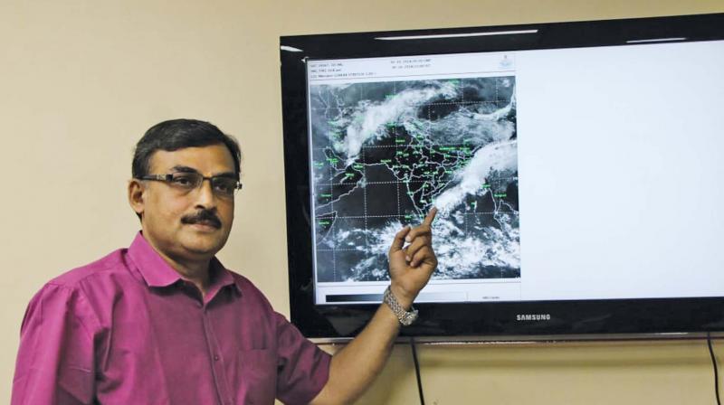
System likely to move westwards into Kerala, says S Balachandran
The Deputy Director has also said that the low pressure may form into another cyclone, named Fani on November 29.

Chennai: The cyclone Gaja is now expected to travel westwards and into Kerala and weaken into a deep depression over the next three hours, Deputy Director General of Meteorology S Balachandran said on Friday.
“Severe cyclonic storm has weakened into a depression as of noon on Friday and moving over Dingigul towards Kerala at a speed of 23 kmph,” Balachandran said, as he addressed presspersons, adding that this movement will cause scattered rainfall which will range from heavy to very heavy over southern Tamil Nadu.
The depression will turn into a low-pressure area around Sunday, the Deputy Director said, asking fishermen not to venture into the sea on 18 to 20 November. “They can go into the sea from Friday afternoon, but shouldn't on those two days,” he said.
The Deputy Director has also said that the low pressure may form into another cyclone, named Fani on November 29.
The Met department had maintained that the severe cyclone would weaken into a cyclone before making landfall last evening. However, Gaja not only retained the severity but also delayed landfall to early Friday morning with wind speeds reaching up to 120 kmph.
Gaja has contributed to a total of 6 per cent rainfall. “From November 14 onwards, 22 cm rainfall was recorded. Until yesterday, it was 29 per cent below normal but after yesterday it has become 23 per cent,” the Deputy Director said.
Fishermen in Kerala have been asked not to venture into the sea as the state is to receive heavy to very heavy rainfall over the new two days. Isolated heavy to very heavy rainfall is likely in Pathanamthitta, Alappuzha, Kottayam, Ernakulam and Idukki on Friday, according to an IMD bulletin. Isolated heavy rainfall was expected in Thrissur, Palakkad, Malappuram, Kozhikode and Wayanad. On Saturday, the state could expect widespread rain and isolated heavy rainfall was likely in Kollam, Pathanamthitta, Alappuzha and Ernakulam.

