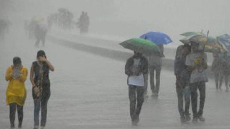
Monsoon to hit Hyderabad in second week of June
Temperatures were normal over Telangana and isolated rain occurred across the state.

Hyderabad: In view of the strengthening and deepening of southwesterly winds, persistent cloudiness & rainfall, the southwest monsoon has advanced into some parts of southeast Bay of Bengal, Nicobar Islands, the entire south Andaman Sea and some parts of north Andaman Sea on Sunday.
Conditions are favorable for further advance of southwest monsoon into some parts of southwest Bay of Bengal, some more parts of southeast Bay of Bengal, remaining parts of Andaman Sea and Andaman & Nicobar Islands and some parts of east central Bay of Bengal during next 72 hours.
The upper air cyclonic circulation over North Interior Karnataka & its neighborhood persists and was last seen at 1.5km above mean sea level. The trough from the above system to Comorin area across South Interior Karnataka and Interior Tamil Nadu now runs from Marathwada to south Tamil Nadu across interior Karnataka and extends up to 0.9 km above the mean sea level.
Appreciably, there was a rise in maximum temperatures at one or two places over Telangana during the last 24 hours. Temperatures were normal over Telangana and isolated rain occurred over the state. The highest maximum temperature of 43 degree C was recorded at Adilabad, Nizamabad and Ramagundam.
Y.K. Reddy, Director Indian Metrological Department Hyderabad said, “We cannot say anything now; but monsoon prediction for Hyderabad is normal and expected to reach Hyderabad in the second week of June which is a normal date. This year it may be different, but we will get clarity after a week about the onset dates, on June 1 about amount of rainfall’’. For the coming week: Light to moderate rain and thundershowers very likely at isolated places over Telangana.

