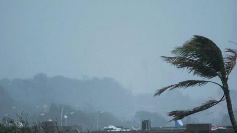
Vardah may hit south coastal Andhra Pradesh
The remnant weather system may head towards Karnataka after landfall near Chennai.

Visakhapatnam: In a swift turn of events, the very severe cyclonic storm Vardah is now heading towards north Tamil Nadu (and south coastal AP).
In all likelihood, the weather system will cross the coast somewhere near Chennai on Monday afternoon, if not further South; reducing the extent of damage to south coastal Andhra Pradesh to some level.
As per the IMD’s earlier projected path, the “ramped up” cyclone was to land in south coastal AP on Monday, putting the administrative machinery of AP on their toes. The system is currently located about 330 km east of Chennai and 390 km east-southeast of Nellore.
People on AP, Tamil Nadu coast stay indoors
Isolated heavy rains are expected to lash many places of south coastal AP, Puducherry and north Tamil Nadu from Sunday evening, particularly Nellore, Prakasam, Guntur, Kadapa, Chittoor and Anantapur districts in AP.
Bursts of heavy to extremely heavy rains could wreak havoc in Prakasam and Nellore districts of Andhra Pradesh and north Tamil Nadu on Monday.
Gradually weakening from Sunday evening, the system would cross the coast as a cyclonic storm or severe cyclonic storm on Monday afternoon. The remnant weather system may head towards Karnataka after landfall near Chennai.
The National Disaster Man-agement Authority (NDMA) has set up a control room in AP with a toll-free number of 0866-2488000 and in Tamil Nadu with a toll free number of 044-28593990.
Contrary to IMD’s predictions, several international weather agencies had consistently pointed their fingers to the TN coast as the likely landfall area for the last one week.
Being the third this season, Vardah is the only cyclone to have intensified into a very severe cyclonic storm after Hudhud — which devastated Vizag city in 2014.
The NDMA has advised the people of south coastal AP and north Tamil Nadu to stay indoors till Monday night and stock up essential commodities, medicines and drinking water in abundance. Since Vardah is expected to cross the coast either as a severe cyclone or cyclone, it has potential to cause severe damage with wind speed expected to be more than 100 kmph. Damage to power and communication lines, crops and thatched huts is expected.

