Disaster management: How prepared are we?
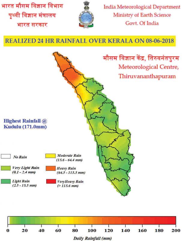
Heavy rain as high as 171mm hit Kasargod on Friday with Kudlu recording the highest rainfall.

Thiruvananthapuram: The disaster management authorities are bracing for natural calamities during the monsoon. The Indian Meteorological Department has predicted ‘heavy rains’ of up to 110 mm until June 10 and ‘very heavy’ rain up to 200 mm (2cm) on June 11. Heavy rain as high as 171mm hit Kasargod on Friday with Kudlu recording the highest rainfall. The disaster management authority is on alert in Kannur and Kasargod. Thunderstorm was expected in Malappuram and Kozhikode also. As per the protocol of Kerala State Disaster Management Authority (KSDMA), in most districts, once the rainfall level stretches to 65 mm – 124 mm mark, the respective district disaster management control rooms have to be opened.
 Rainfall parameters on June 8.
“During this phase, alert is given out to ensure that citizens should avoid venturing into swelling water bodies. Further, the ghat section road becomes risky and warnings are served to tourists,” said a revenue official attached to Thiruvananthapuram taluk. Four lives were lost in a day in Thiruvananthapuram during a thunderstorm last month. Once the heavy rainfall lashes, the quarry blasting in respective district have to be stopped. The state-level disaster management officials have been apprised of the risks. Further, the assets like earth movers and cranes in the district will be on stand-by for action on request. All fire and rescue stations also are put on high alert.
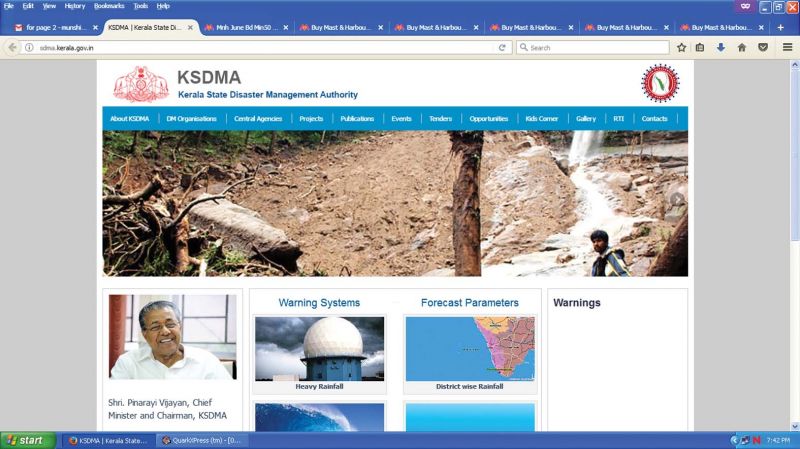
 A screenshot of the Kerala State Disaster Management Authority (KSDMA) website.
The more serious second stage is when the rainfall goes up to the range of 124 to 244mm. The citizens and grassroots revenue officials in flood-prone areas are given alert. The police and forest department blocks traffic to the risky ghat section prone to landslides. The tahsilar will identify the possible shelters and the defence forces will be alerted. On Friday, Kudlu in Kasargod recorded the maximum rainfall of 171mm that falls in the category. The third and critical stage is when the rainfall exceeds 244 mm. Holidays are declared for educational institutions. Mass gatherings and social events have to be cancelled and people have to stay indoors. The voluntary or mass evacuations of low-lying areas come to the force.
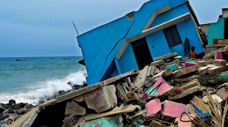
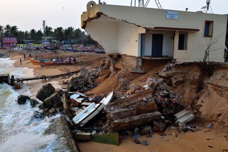
 Another house that bore the brunt of sea waves along the coast in Thiruvananthapuram. (Photo: DC FILE)
Disaster hotspots during monsoon
The 590-km-long shoreline and the presence of Western Ghats make Kerala a potential hotspot of disaster during monsoons. The high density of population and prosperity in terms of housing make it all the more vulnerable. Though all districts that fall on the foothills of Western Ghats are considered landslide-prone, Idukki, Kottayam, Wayanad and Kozhikode districts have high-risk zones. Of this, Idukki alone has 388.3 square km of high landslide-prone areas.
Most of around 86 landslides that occurred during the 55 years until 2016 have happened during monsoons. The worst landslide that hit Kerala, however, was during the 2001 north-east monsoon at Amboori in Thiruvananthapuram claiming 38 lives. As the sea becomes rough, around 36.6 per cent of Kerala's coast gets severely affected by sea erosion heightened by high tides. Kasargod, Kannur, Kozhikode, Malappuram, Thrissur, Ernakulam, Alappuzha, Kollam and Thiruvananthapuram have dozens of erosion -affected neighbourhood.
The disaster management officials need to frequently hunt for relief options. Thiruvananthapuram is the worst affected with 23 per cent of its coast being threatened by erosion. Flooding is another disaster that hits Kerala during south-west monsoon. Around 14.52 percent of the total area of the state is classified a flood-prone. Alappuzha district has more than 50 percentage of its area identified as flood-prone.

