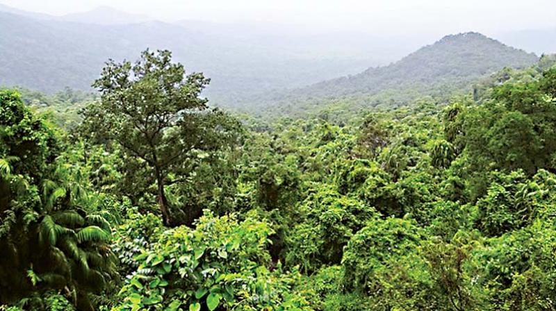
Measurement of Telangana green cover partial
Natural forests, private ones and other greenery cannot be identified at this resolution.

HYDERABAD: The India State of Forest report claims that there is an increase of one per cent of forest cover, or nearly 6,800 square kilometres. Telangana state and Andhra Pradesh were among the top five states to have increased their green cover.
However, studies have shown that the report takes into consideration degraded forest land and not greenery, whose area has seen a fall.
The reason is stated to be poor satellite imagery; forest officials said the pictures did not have high resolution. The number of states with “dense forests” is very low. Very dense forests have a canopy density of 70 per cent and more, and such forests can be seen covering just one or two per cent in most states.
Senior forest officer Srinivas Rao said, “Most forest areas have trees just on the outer edges or are planted sparsely. This can be attributed to illegal timber smuggling and cutting down of trees. When satellite images are checked, one sees greenery in the area and the low resolution does not show the barren land and the same is counted as forests.”
He said satellite images are produced with a resolution of 23.5 sq. m. per pixel, making it difficult to identify small scale deforestation.
Natural forests, private ones and other greenery cannot be identified at this resolution.
A collaborative study conducted at University of Hyderabad determined that the Eastern Ghats stretching from Odisha to Tamil Nadu have lost nearly 16 per cent of their biodiversity over the last 95 years. The study stated that the country was experiencing a loss of green cover.
Telangana has been trying to increase forest cover with the green drive, Haritha Haram.

