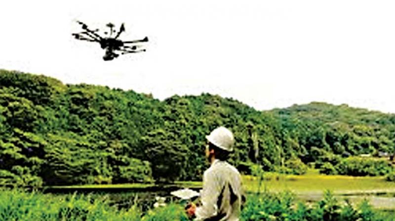
Karnataka government pioneers drone based survey for land records
The MoU was signed by Lt. Gen. Girish Kumar, secretary general of the Survey of India and Mr Rajkumar Khatri, principal secretary.

Bengaluru: The Karnataka government and the Survey of India have signed a Memorandum of Understanding to use drones to do land surveys and help people and farmers in particular, get more accurate land records in a shorter time.
Announcing this at a press conference here on Thursday, Revenue Minister, R V Deshpande said the survey was intended to not only remove human errors in the preparation of land records, but also eliminate manipulation of boundary lines.
Happy with the success of the pilot tests conducted in Jayanagar 4th block in the city and Ramanagar using drones, the Karnataka government now intends to use drones to prepare land records all over the state.
"We have adopted advanced technology, a Continuously Operating Reference Station, to do the survey as it offers highly accurate information, better than even GPS and importantly, works 24/7," the minister explained, adding that compared to the conventional surveys, the drone survey was not only quick but also cost effective. A perfect map of each property based on geo-referral will be prepared over 2,000 kms with the state government bearing the entire expenditure involved.
In the first phase, drones will be used to do surveys in Hassan, Ramanagara, Tumakuru, Uttara Kannada, Belagavi and Bengaluru city over a period of about two years and in the second, it will be extended to Vijayapura, Kodagu, Dharwad, Dakshina Kannada, Mysuru, Gadag, Davangere and Kalaburagi.
"It was my dream to adopt the latest technology in the survey of land/properties and now it has became a reality," the minister said with satisfaction. The MoU was signed by Lt. Gen. Girish Kumar, secretary general of the Survey of India and Mr Rajkumar Khatri, principal secretary, Revenue.

