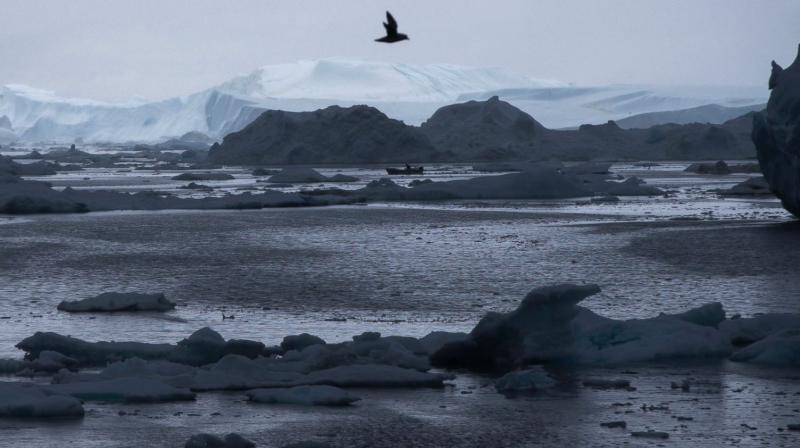
Arctic's year of crazy extremes as warming hits overdrive
Scientists have long said man-made climate change would hit the Arctic fastest.

Washington: Warming at the top of the world has gone into overdrive, happening twice as fast as the rest of the globe, and extending unnatural heating into fall and winter, according to a new federal report.
In its annual Arctic Report Card , the National Oceanic and Atmospheric Administration on Tuesday tallied record after record of high temperatures, low sea ice, shrinking ice sheets and glaciers. Study lead author Jeremy Mathis, NOAA's Arctic research chief, said it shows long-term Arctic warming trends deepening and becoming more obvious, with a disturbing creep into seasons beyond summer, when the Arctic usually rebuilds snow and ice.
Scientists have long said man-made climate change would hit the Arctic fastest. Mathis and others said the data is showing that is what's now happening. "Personally, I would have to say that this last year has been the most extreme year for the Arctic that I have ever seen," said Mark Serreze, director of the National Snow and Ice Data Center in Boulder, Colorado, who wasn't part of the 106-page report. "It's crazy."
NOAA's peer-reviewed report said air temperatures over the Arctic from October 2015 to September 2016 were "by far the highest in the observational record beginning in 1900." The average Arctic air temperature at that time was 3.6 degrees (2 degrees Celsius) warmer than the 1981-2010 average. It's 6.3 degrees (3.5 degrees Celsius) warmer than 1900.
Other extremes the report detailed:
-Ocean temperatures were 9 degrees (5 degrees Celsius) higher than the 30-year average off the coasts of Greenland.
-Arctic sea ice didn't set a record for the annual minimum, but in October and November when sea ice normally starts growing back, it didn't. Sea ice from mid-October through November was the lowest on record. Dartmouth University professor Donald Perovich, author of the chapter on sea ice, said sea ice conditions have sunk from a B-plus grade 11 years ago to a D-minus grade "and that's because I'm an easy grader."
-Snow cover in North America reached a record low for spring, falling below 1.5 million square miles in May for the first time since satellite observations began in 1967.
-Though not a record, Greenland's ice sheet continued to shrink , starting early, on April 10. It was the second earliest start of the Greenland melt season on record.
What's happening is due to both man-made warming and a large El Nino that just ended, Mathis said. "Not only is it extreme in any number of measures - air temperature, loss of sea ice and on and on - but there are so many things we haven't seen, particularly this extremely warm fall," said study co-author Brendan Kelly, executive director of the Study of Environmental Arctic Change at the University of Alaska, Fairbanks.
In 1979, Kelly cruised the Bering Straits region with a native hunter who told him dozens of Yupik words for sea ice. One was tagneghneq, for a charcoal grey thick multi-year ice. That ice is pretty much gone, Kelly said. This is more than an Arctic problem, because the cold air escaping changes weather conditions, such as weakening the jet stream, Mathis said.
"What happens in the Arctic doesn't stay in the Arctic," Mathis said. "The Lower 48 may have to deal with more extreme weather events in the future."

