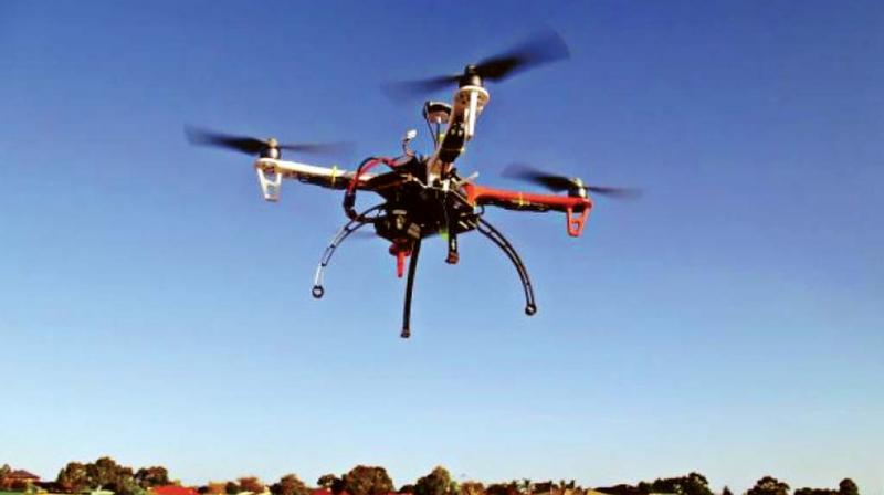
Drones to survey properties, land in Bengaluru, Ramanagara

Bengaluru: In a first of its kind, the Survey of India (SoI) will launch a drone-based survey of land and properties on a pilot basis in Bengaluru and Ramanagara district from Tuesday till July 14.
The survey of land and properties is commissioned by a state government agency, the department of Survey Settlements and Land Records."Once the drones finish capturing the images of land and properties, our surveyors will go and survey the same land and properties physically. Then we will compare the results of both. If we find accuracy to the sub-centimetre level, then we can accept the drone survey results as accurate. Generally, surveys can give different results. If the difference is not more than 7-8 centimetres, then it is considered accurate. We will apply the same yardstick here. Since SoI is doing the drone survey it is credible and they are doing it for free," said Commissioner of department of Survey Settlements and Land Records, Munish Moudgil.
In the pilot programme, areas in Jayanagar 4th block, Ramanagara town and villages near Ramanagara town will be surveyed using drones. In the city, properties will be surveyed while in rural areas, land comprising both agricultural land and residential areas are to be surveyed.
In the past, the conventional surveys of land through certified surveyors led to controversies as some groups or individuals questioned the accuracy of the surveys or claimed that the surveyors were biased against them. "If drone surveys are proved to be accurate, then we can easily overcome this issue of surveyors doing favours or coming out with inaccurate surveys," Mr Moudgil said.
The survey work usually done in two months can be finished in two days using drones and therefore, this method is being experimented with. "If this experiment is successful and satisfies all legal parameters, then we can go for a survey of land across the state," says Mr Moudgil. The drones may not capture the boundary marks set below trees or tank bunds. So, they may not be helpful in areas which have thick forests or even in the Malnad region, admits Mr Moudgil.

